












Arabic version: إصدار مراقبة فيضانات مع اقتراب أمطار ورياح عاتية من الجنوب
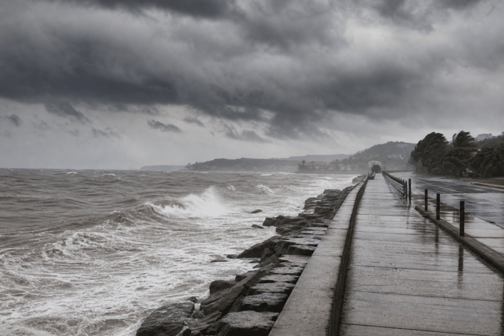
According to ABC News, a powerful winter cold front is expected to bring a broad band of rain and strong winds across southern Australia over the coming days. The system arrived on Western Australia’s west coast overnight and is forecast to spread rapidly across South Australia on Saturday before intensifying over the south-east states on Sunday. The rain is expected to provide farmers with the best falls in at least a month.
Heavy rain forecast for Victoria’s ranges has prompted a flood watch for 10 catchments. Thunderstorms and pockets of heavy rain are also possible in parts of Western Australia, South Australia and southern inland New South Wales. A second front is due over Western Australia on Monday before reaching the south-east states on Tuesday and Wednesday, potentially lifting five-day totals to at least 25 millimetres across a large part of southern Australia.
Some southern coastal and ranges areas, including locations around Adelaide, could receive more than 50mm, while north-east Victoria’s high country may record 100mm. A deep low-pressure system linked to the first front is also expected to increase the risk of damaging gusts. Southern Western Australia faces the first threat, with Perth’s coastal suburbs forecast to see gusts of about 80 kilometres per hour. Adelaide could experience gusts near 70km/h from Sunday afternoon.
The strongest winds are expected to move into eastern states on Monday, with parts of Sydney, Canberra and Melbourne potentially recording gusts above the 90km/h warning threshold. Exposed southern coastal and ranges areas could see peak speeds exceeding 100km/h, creating risks of fallen trees and power outages. In the Alps, heavy rain on Sunday is expected to affect lower and mid-level snow cover before colder conditions bring heavy snow and possible blizzards on Monday. Forecast modelling indicates at least 20cm of snow in 24 hours, with up to 50cm possible on the higher Alps across the event.