













Arabic version: توقعات بزخات مطر على معظم ساحل كوينزلاند
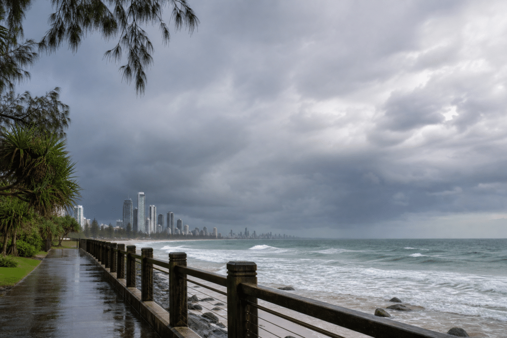
According to ABC News, Queensland is set for a mild start to the week, with cloudy conditions and passing showers forecast for much of the coast. A large high-pressure system is expected to remain over the Tasman Sea for the next few days.
Senior meteorologist Dean Narramore said showers were expected across the south-east, central coast and north tropical coast. The Herbert and Lower Burdekin region, including the area off Townsville, is less likely to receive rainfall and is forecast to be windy.
Rainfall is expected to be lighter between Cairns and Mackay. Further inland, much of Queensland is forecast to be dry and partly cloudy, although parts of the Channel Country and areas near the New South Wales border could receive rain from the upper reaches of interstate weather systems.
Temperatures are expected to remain mild statewide. Some inland locations may record overnight lows in the single figures, but conditions are not expected to be cold enough for overnight frosts.
Fire danger is forecast to be mostly moderate across the northern interior for most of the week. Wind gusts could lift the fire danger to high in parts of the central west, including Longreach and Winton, on Monday. From Tuesday, increased moisture and cloud are expected to keep fire danger at moderate levels for the rest of the week.
Fire crews had a busy weekend on the Atherton Tablelands, west of Cairns, where three grassfires were brought under control on Saturday afternoon. Two fires near Mareeba included one that crossed a rail corridor and the Mulligan Highway north of the town. Crews also fought a bushfire near Millmerran Woods in the south.