












Arabic version: صور الأقمار الصناعية تكشف عن أضرار واسعة النطاق نتيجة الهجمات الأمريكية الإسرائيلية على إيران
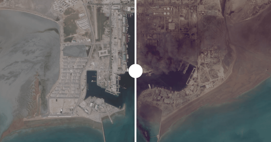
Satellite images have detailed the extensive destruction caused by the ongoing US-Israel war on Iran, which has been underway for 100 days. According to Al Jazeera, various satellite imagery companies captured significant damage before an indefinite blackout was imposed on conflict-related images at the request of Washington.
The Natanz complex in Isfahan province, Iran’s largest uranium enrichment facility, suffered severe damage from US and Israeli airstrikes, including the use of GBU-57 bunker buster bombs. Before-and-after images show destruction to critical infrastructure, including buildings and access routes to underground facilities.
In addition to Iran, satellite imagery has revealed extensive destruction in Lebanon, where towns such as Bint Jbeil and Naqoura have seen significant damage due to Israeli operations. Analysis confirms that approximately 725 buildings were destroyed across these areas, highlighting the war’s impact beyond Iranian borders.
Images from military bases across the Gulf, including Al Udeid Air Base in Qatar and Prince Sultan Air Base in Saudi Arabia, show damage from Iranian missile attacks, further illustrating the conflict’s broader regional implications. The extent of the destruction underscores the ongoing humanitarian and geopolitical crisis in the Middle East.