










Arabic version: مناظر جوية ترسم ملامح الأراضي الملحية في أستراليا الغربية
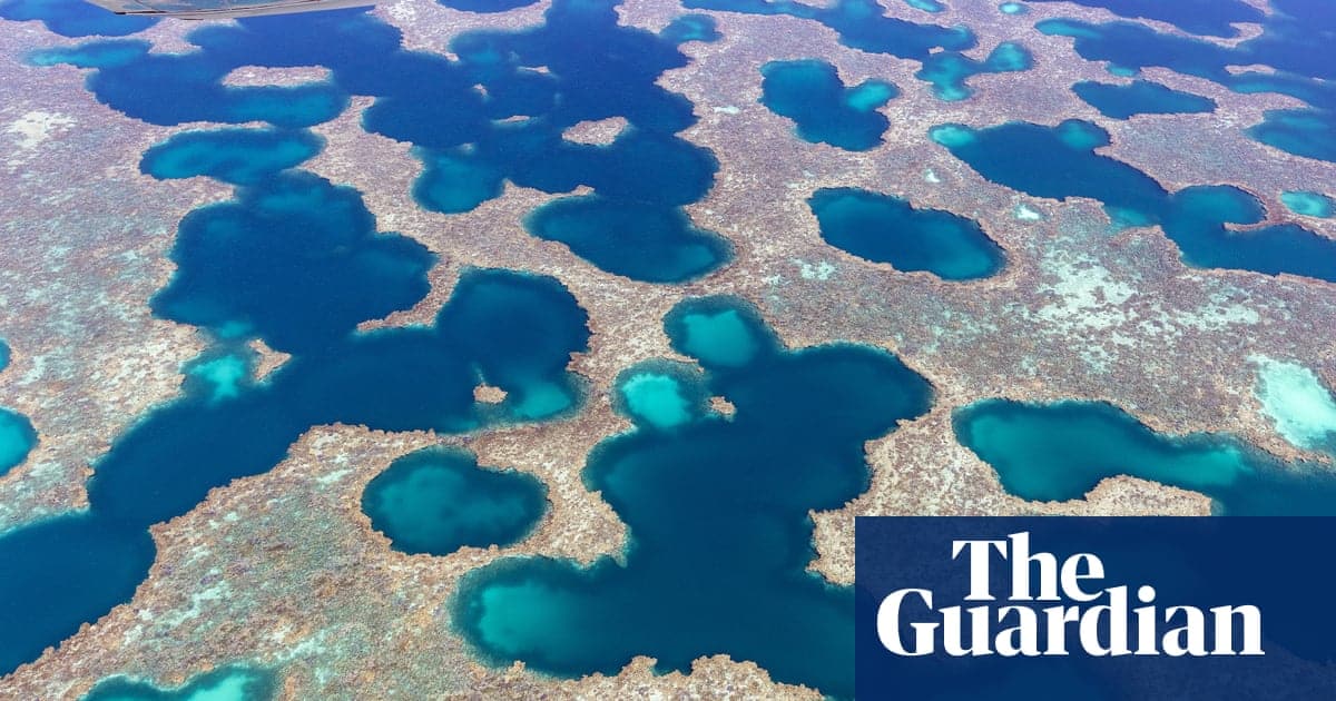
According to The Guardian, a picture gallery brings together aerial views of salt flats, salt lakes, creeks, clay pans, tidal flats and coral reefs across Western Australia’s midwest and coast.
The images include salt lakes in the North Midlands at Three Springs, along with another view of the region’s salt lakes. One photograph focuses on the edge of a salt lake in the wheatbelt near Southern Cross, while another shows the pink salt lake at Hutt Lagoon.
Lake Macleod in the Gascoyne region appears in several images, showing salt flats and creeks. The gallery also features clay pans on the eastern side of Exmouth Gulf, as well as further salt-flat views from the gulf.
Along the coast, the selection includes coral reefs above the Houtman Abrolhos islands off Western Australia’s western coast. Other aerial scenes show tidal flats in Port Hedland, creeks and flats around Port Hedland, and salt flats north of the town.
The gallery also includes a view of Cape Mentelle near Margaret River. Together, the photographs map a range of Western Australian landscapes, from inland salt lakes and riverbed-like patterns to coastal flats, reefs and lagoons.