













Arabic version: توقعات بطقس أكثر برودة وتساقط الثلوج في جميع أنحاء المملكة المتحدة هذا الأسبوع
The UK is set to experience a return to colder temperatures this week, following a brief period of spring-like warmth. According to BBC News, single-digit temperatures are expected, along with the possibility of snow in some regions.
Cold air from the far northern Atlantic is making its way across the UK due to a series of weather fronts. As the week progresses, daytime temperatures are predicted to drop significantly, with Friday potentially seeing temperatures struggle to reach double figures.
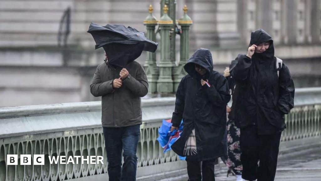
The ramping up of the jet stream will contribute to increasingly wet conditions, with the chance of wintry showers by the week’s end. Strong winds from the Atlantic are expected to clear out the mist and fog that have been prevalent in many areas, although some locations may still experience overnight frost.
Snow is anticipated over high ground in northern regions, with the possibility of accumulating snow on hills and mountains. Fast-moving hail showers may occur across various areas, and brief flurries of wet snow could also be seen in southern regions, although settling snow is unlikely.
Looking ahead to the weekend, a potentially nasty area of low pressure could bring gales, especially in Scotland, with gusts expected to reach between 40 and 60 mph. Despite the cold, there will be moments of sunshine between weather systems, offering some respite from the harsh conditions. The long-term forecast remains uncertain, with models suggesting a mix of dry and unsettled weather in the weeks to come.