













Arabic version: توقع رياح عاصفة وعواصف قصيرة في جنوب شرق كوينزلاند
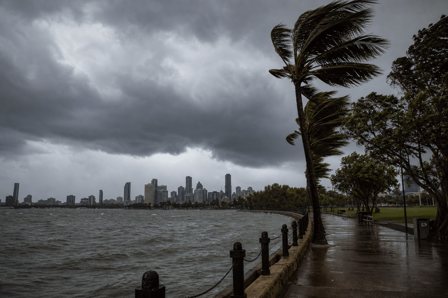
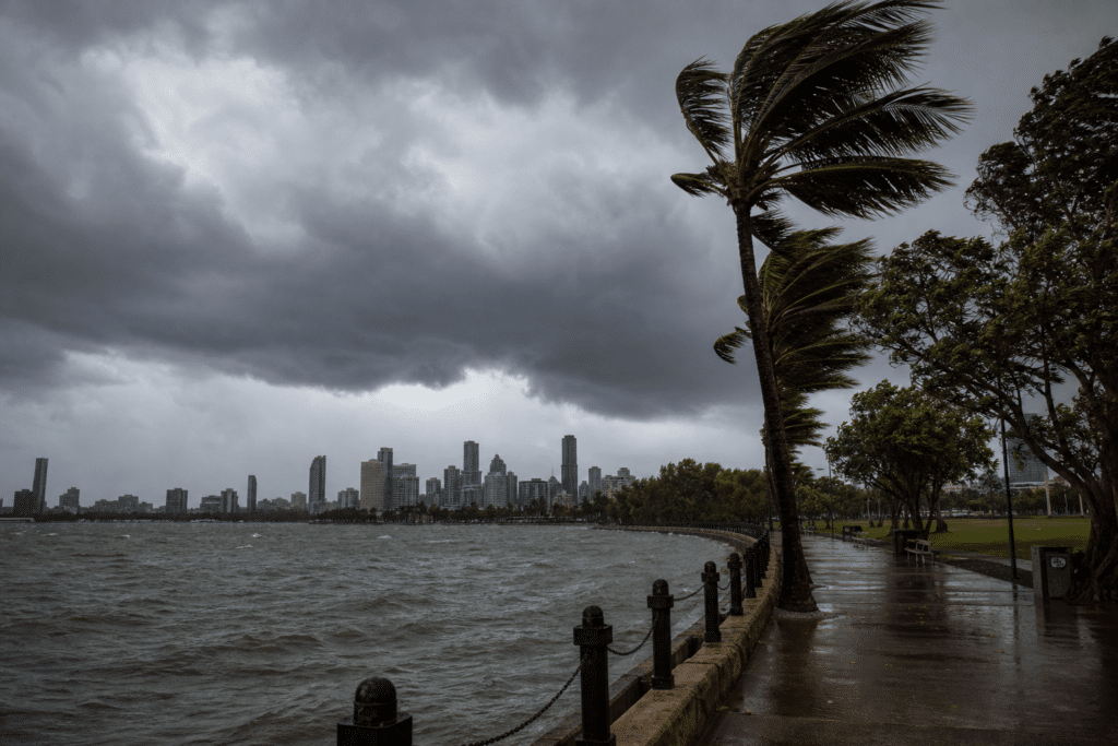
According to ABC News, south-east and central Queensland are expected to experience windy conditions and possible short, sharp showers on Monday as a vigorous trough moves across the regions. Strong winds and a possible brief storm are forecast for the state’s south-east corner during the afternoon, while several local government areas observe the Royal Queensland Show public holiday.
Harry Clark, a senior meteorologist with the Bureau of Meteorology, said the trough would bring a cloudy day and a line of showers and thunderstorms. He said people attending the Ekka should consider taking a poncho. Storms could affect Brisbane, the Gold Coast, the Sunshine Coast and areas as far north as Gympie during the afternoon.
Rainfall linked to the storms is expected to be short and heavy, though totals are likely to remain below 10 millimetres. The storms are not expected to be severe, but gusty winds are forecast. A marine wind warning is in place for Moreton Bay, Sunshine Coast and Gold Coast waters. Brisbane City’s Ekka public holiday will be held on Wednesday, with maximum temperatures in the mid-20s expected through the week and minimums of 9 to 11 degrees.
Northern and western Queensland are forecast to be mostly clear on Monday, with temperatures two to five degrees above average. Minimum temperatures from Mackay to Cairns and inland areas are expected to sit in the mid to high teens, while many northern centres may reach the mid to late 20s. Clearer, drier conditions are expected across southern and central Queensland on Tuesday, before another weak trough brings more cloud and isolated or scattered showers west of the range on Wednesday. Conditions are forecast to clear again on Thursday.