











Arabic version: توقعات بعواصف فائقة الخلايا بعد عاصفة برد في كوينزلاند
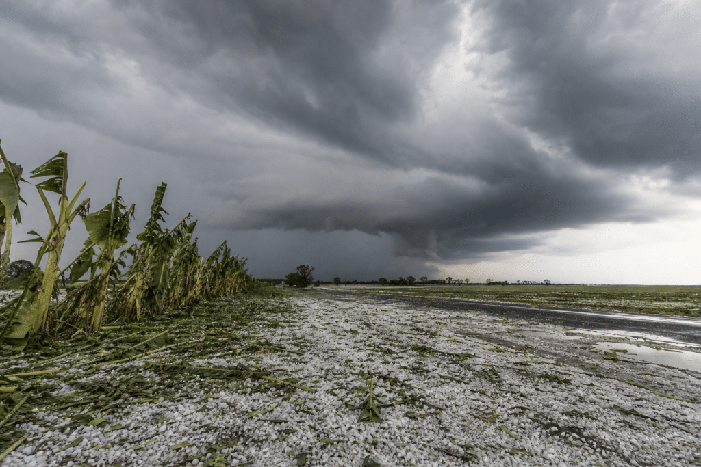
According to ABC News, supercell thunderstorms are expected across parts of Queensland and New South Wales after hailstones up to 10 centimetres struck Queensland’s Fraser Coast overnight.
A trough over southern inland Queensland triggered a line of severe storms on Tuesday morning, the Bureau of Meteorology said. Damaging winds, large hailstones and flash flooding are possible over the coming hours.
Footage from Maryborough showed hail banking up across a road overnight. Meteorologist Jonathon How said the atmosphere remained “highly unstable”, with a significant storm day expected from the NSW south coast to Queensland’s Fraser Coast.
Mr How said supercells could develop across north-east NSW as well as south-east and central Queensland. He said very dangerous thunderstorms could bring destructive wind gusts exceeding 125 kilometres an hour, capable of bringing down trees and damaging property.
Giant hail could also cause substantial damage to vehicles, he said. Heavy rainfall and dangerous thunderstorms were forecast for the Gold Coast, Brisbane, inland Darling Downs and the Sunshine Coast. Residents across south-east Queensland and north-east New South Wales were urged to monitor radar and warnings during the late morning and afternoon.