












Arabic version: فيكتوريا تواجه أمطاراً غزيرة مع امتداد العواصف شرقاً
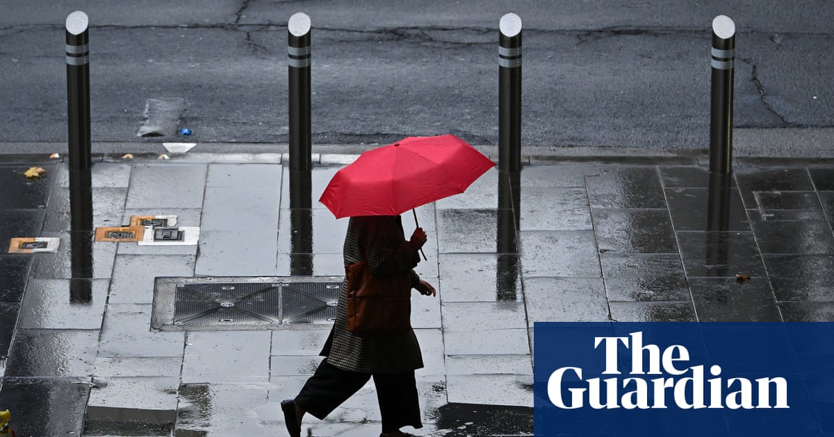
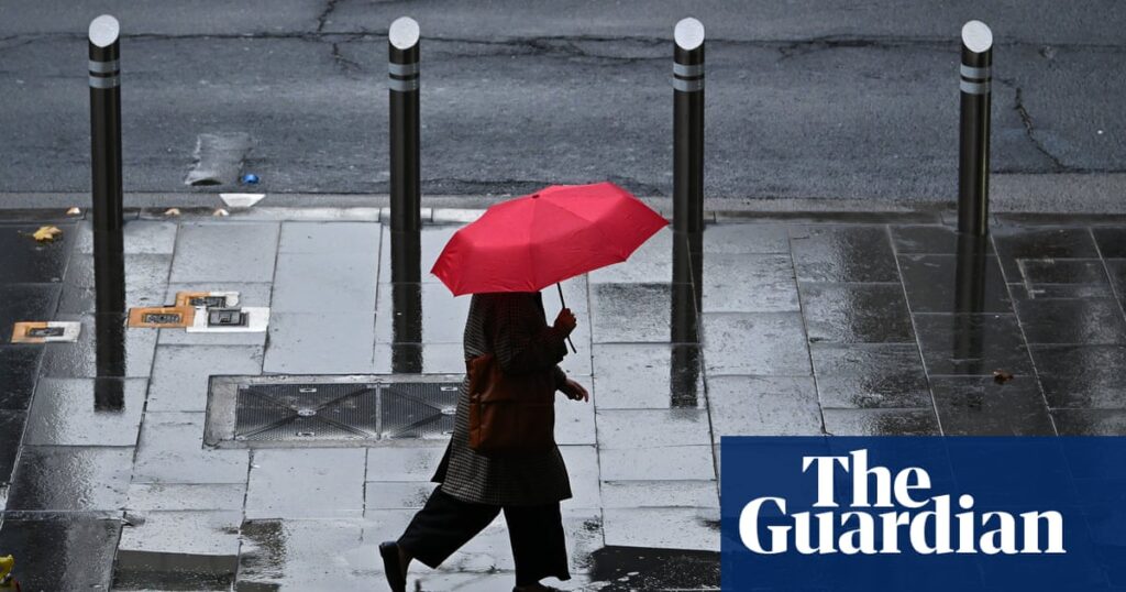
According to The Guardian, widespread rain and thunderstorms are forecast across south-eastern Australia from Thursday, with Victoria expected to receive the heaviest falls. The Bureau of Meteorology said a trough moving east across South Australia was expected to combine with a low-pressure system travelling through the Great Australian Bight.
The systems were forecast to form a slow-moving low over Victoria, eastern South Australia and New South Wales, bringing widespread storms and substantial rainfall. Dean Narramore, a senior meteorologist at the Bureau of Meteorology, said most of Victoria could receive 25mm to 50mm over the coming days. Rain was already developing in western and southern Victoria and was expected to intensify and spread across the state on Friday.
Gippsland and the central, eastern and Otway ranges could receive more than 100mm, with some locations potentially reaching 150mm. Narramore said 150mm would be equivalent to one to two months of rainfall, and possibly three months’ worth in some areas. Melbourne was forecast to receive 30mm to 50mm over the coming days, while flood watches were in place for parts of Gippsland, north-east Victoria and central Victoria.
Thunderstorms were also expected, with a risk of damaging winds in coastal parts of Victoria on Friday and Saturday. The conditions coincide with the start of Australia’s peak thunderstorm season, which runs into January. As the system moves across New South Wales, Canberra and Sydney could see rain and storms on Saturday. Weatherzone’s Anthony Sharwood said parts of the Sydney basin could receive rainfall totals near 50mm from persistent showers and localised thunderstorm downpours, before a drying trend later on Sunday.