












Arabic version: إصدار تحذيرات جديدة من العواصف الرعدية لأجزاء من المملكة المتحدة
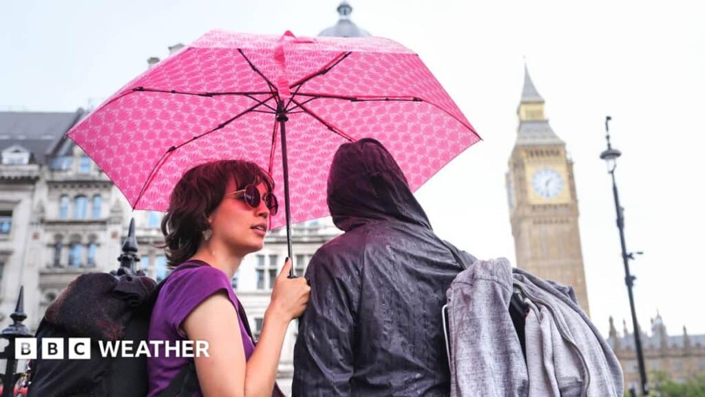
According to BBC News, the Met Office has issued fresh thunderstorm warnings for Thursday, with heavy rain and thunder expected to affect parts of the UK.
The first warning begins at 02:00 BST as thunderstorms and heavy rain move across south-east England. A second warning, covering a wider area of England and Wales, starts at 06:00 BST and remains in place until 22:00 BST. Showers may become slow moving during the afternoon and evening.
Within the yellow warning area, 20-30mm of rain could fall in a few hours and up to 50mm over 12 hours. Hills exposed to the easterly wind could receive 75mm. Localised flash flooding, hazardous driving conditions, travel disruption, road closures and power cuts are possible. Hailstones of 1-2cm, lightning and gusty winds may accompany the downpours.
Heavy showers are forecast to move north from southern England and south Wales through Wales, the Midlands and eastern England, reaching northern England in the early afternoon. Northern Ireland and Scotland may see rain later, but are expected to avoid the wettest conditions.
Rain and windy weather are also expected over the bank holiday weekend. A band of rain is forecast to cross England and Wales on Saturday, followed by more heavy showers on Sunday. Wind gusts could reach 40-45mph in the far south-west of England, while temperatures are expected to range from 16C in northern Scotland to 23C in southern England.